
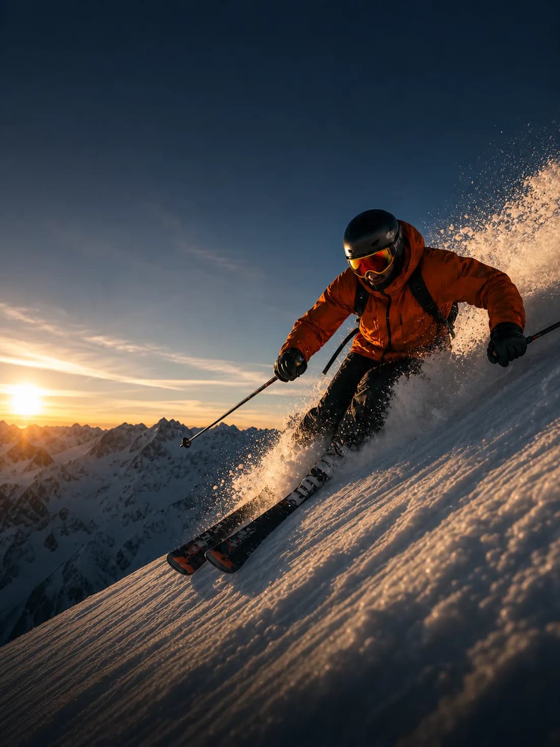
Start with the skiing profile
Select skiing and choose a supported template. Speed Arc keeps the mountain visible; a richer layout can show more metrics. Check the template's available data and plan requirements before you head out.
Get a useful recording
Check GPS readiness in an open outdoor area. Secure the phone and choose an orientation before recording. Record a short sample and review whether the telemetry and framing work for your setup.
Keep the best part of the run
Trim the start and end in the editor. Select speed and altitude where supported, preview the layout, and export. GPS and elevation readings are estimates influenced by signal conditions; use the video to tell your story rather than to establish a precision performance record.